The 15 Best City Trails in Seattle
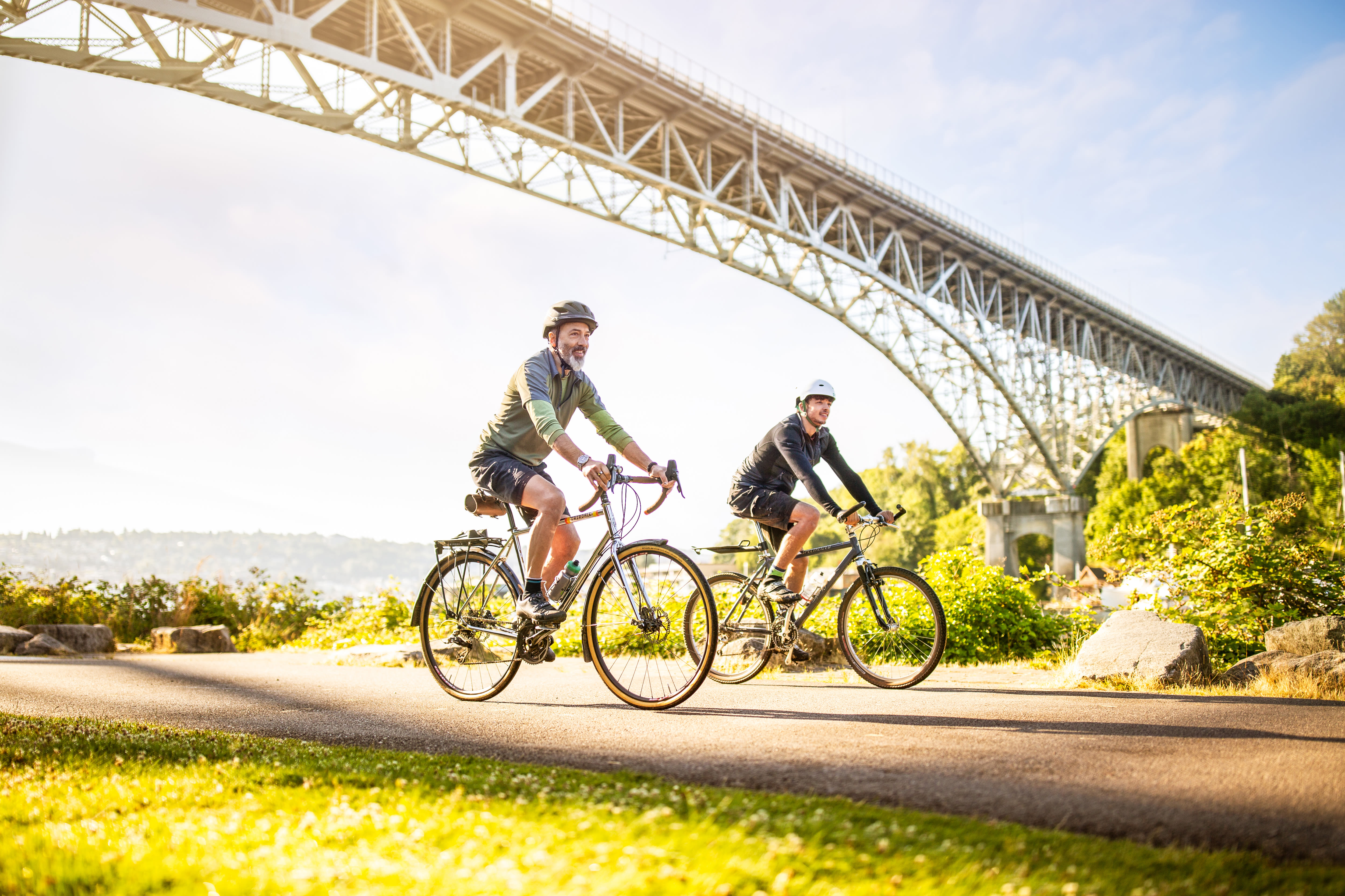
Burke-Gilman trail. Photo by Mac Holt.
Who wouldn’t want to work here? Lake Union’s trail is named for a carver who lived on the lakeshore.
Image: Mac Holt
State of the Union
Cheshiahud Lake Union Loop
Access Point: Gas Works Park • Approximate Length: 6 miles
When Seattle’s Native American population had been nearly all swept out of town, a man named Cheshiahud remained in his small cabin on Portage Bay. The mostly paved path that rounds Lake Union is named for the holdout, a full circle around the city’s central body of water, one molded by the people who settled around it. The route is a hit list of some of the city’s best attractions—MOHAI, two draw bridges, Gas Works, Fremont’s many statues. Riding around Lake Union is the best way to appreciate how its three-lobed structure was shaped by the Ship Canal, a waterway that was dug through the area while Cheshiahud carved canoes on the shoreline.
Water Ways
Green River Trail
Access Point: Northwest of W Marginal Pl S and S 102nd St in Tukwila • Approximate Length: 19 miles
For nearly 20 miles of paved pathway, bikers and walkers get to see Seattle’s gritty heart next to raw, unfussy nature. Riding south from Seattle toward the trail’s end in Kent, the recovering Duwamish quickly becomes the suburban Green River, lined with a thick ribbon of vegetation that reflects the season—wide with bloom in the summer, but with its own stark beauty in winter. Signs of humans are everywhere, but it never takes long to see, say, osprey in the trees or rabbits along the grass.
Already one of the region’s longest contiguous trails, the Green River route could grow in both directions in coming years thanks to a proposal that would inch it a little north into South Park, then unfurl it about 10 miles southeast to Flaming Geyser State Park. The flat, easy pedal darts back and forth across the waterway, popping into greenbelts and neighborhoods, numerous city parks and under interstates before always returning to a river that has been Seattle’s backbone since the city was born.

Burke-Gilman trail
Image: Mac Holt
The Main Drag
Burke-Gilman Trail
Access Point: Golden Gardens • Approximate Length: 27 miles
Seattle’s classic trail—about nine feet wide and dimpled with bumps raised by tree roots—has no shortage of stopping points on its multi-mile trip, which starts at the sandy expanse of Golden Gardens. Without leaving the paved route, there are mile-wide views of the Sound that give way to a leafy canopy that protects the Burke-Gilman from nearby houses. In other places the trail parallels Bothell Way for an energizing, if loud, urban cycle.
Stop along the Ship Canal (try Gas Works Park), cruise through the University of Washington campus (explore the Burke Museum of Natural History and Culture), and trace the western shore of Lake Washington (top-notch fantasy house hunting).
Commuters use it on weekdays, yet it belongs just as much to pleasure cruisers along the Ship Canal or wine lovers pedaling toward Woodinville. Since it moves east–west, the iconic trail, which sits atop an old railroad line, is a tour of the city in a single ride, accessible and enjoyable to both seasoned and newbie cyclists.
Want to give a Ballard resident a headache? Bring up the long debacle around rerouting Seattle’s most popular trail. The Burke-Gilman’s so-called missing link, a dedicated bike and pedestrian path along Shilshole Avenue, would connect the two sections of a route that has traced an old railroad line since 1978. Currently, Central Ballard stands between trail sections short (the part that rolls past Ballard Locks) and long (the part that goes all the way to Bothell). Plans for the mile-and-a-half link have been long discussed, surviving environmental impact studies and a design committee that included local business leaders. Disagreements flared; at one point council member Mike O’Brien got into a scuffle with a shipyard owner. Some parts of the link have been constructed on Northwest Market Street, but the project remains tied up in courts. Seattle loves its signature trail, missing piece and all; maybe someday we’ll get to love the whole thing.
Industrial Revolution
Mill Town Trail
Access Point: Riverside Park • Approximate Length: 6 miles
Everett has always felt like a Northeast city, more Pittsburgh than Pacific Northwest. Maybe because it was founded by eastern industrialists, including quintessential East Coast tycoon John D. Rockefeller. What was once a mill town is now a Boeing hub, a naval station, and a working port.
Launched in 2018, the Mill Town Trail is meant to show off that history, though for now it’s mostly just signs along the streets and bike lanes that hug the city. Cyclists and pedestrians peer over the flat metal roofs of Everett’s industrial acres to the white-topped Cascades beyond, then circle toward Puget Sound for views of the Olympics and low-slung Jetty Island that shields the waterfront. Eventually the trail may include interpretive signs, but for now there are just anonymous rail cars and old smelters, the sites of old shingle companies and the giant naval ships docked in rows beyond them. As history shaped Everett, one thing has always remained the same: This is a town that means business.
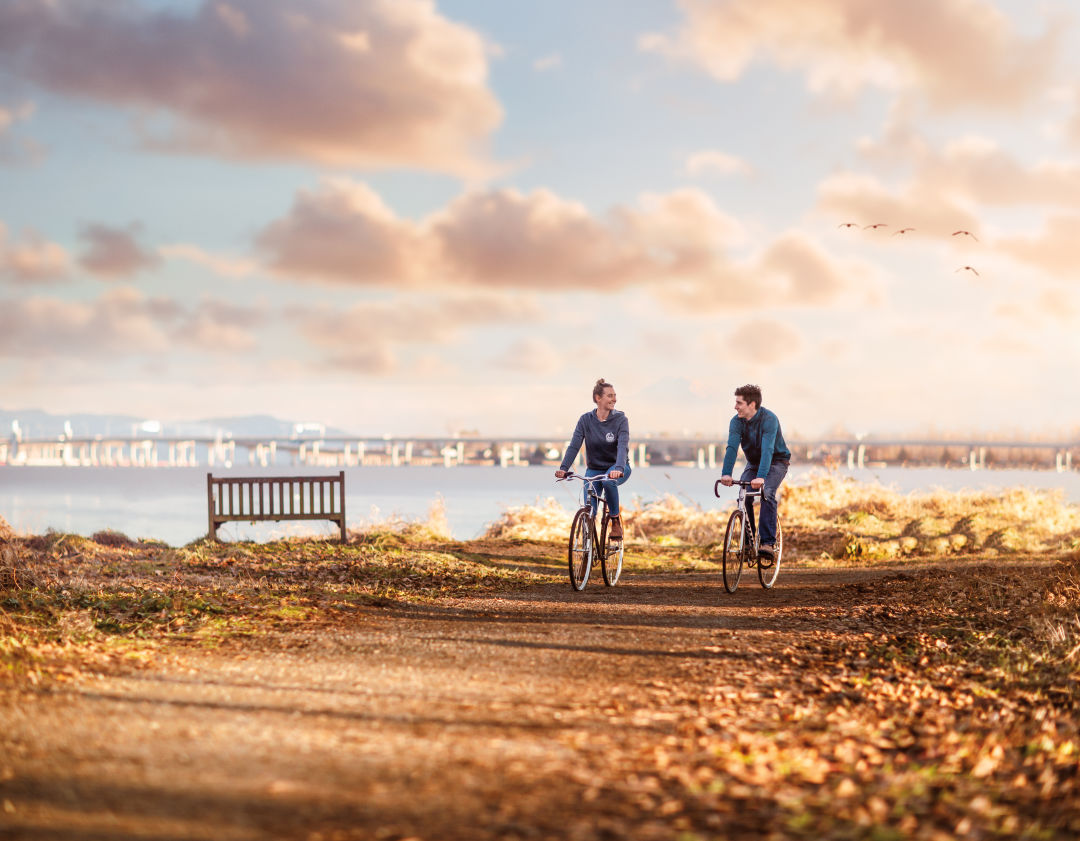
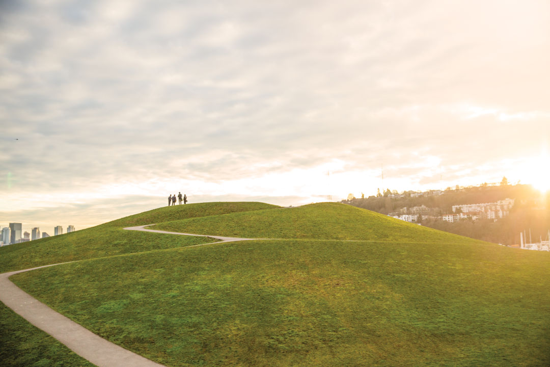
The quietest city trail you’ve never heard of is in Union Bay Natural Area.
Image: Mac Holt
Nature Studies
Union Bay Natural Area
Access Point: Mary Gates Memorial Dr • Approximate Length: 3 miles of trails
With the University of Washington and its towering stadium on one side, the Union Bay Natural Area manages to hide in plain sight, yet it holds 74 acres of marshy lakefront habitat on the shores of Lake Washington. Unlike the university’s manicured Washington Park Arboretum, the refuge has a natural feel with drooping branches over its trails and cluster cattails in the wetlands. The Yesler Swamp is prettier than it sounds (other less-than-lyrical names for this area: the Montlake Fill and University Slough). There was once a sawmill here, but now it’s a boardwalk overlooking lily pads, with more wildlife than city life; more than 200 different birds have been recorded in this tiny urban oasis.
The Artery
Interurban Trail
Access Point: N 110th St and Fremont Ave N (North Trail), Fort Dent Park (South Trail) • Approximate Length: 24 miles (North Trail), 14 miles (South Trail)
You can be excused for thinking the Interurban is everywhere; it kind of is. Built on top of old trolley and train tracks, two Interurban trails form a kind of car-free I-5 that travels up and down King County. The better-known North section is a combination of protected bike lanes and paved trail until it reaches the county line in Shoreline, where it begins more than 18 miles into Everett. On the south side, 14 miles shoot through Kent and Auburn. It’s hard not to miss the commuter trains that once ran these tracks—public transportation 1920s style!—but the long, flat bike routes are a welcome trade-off.
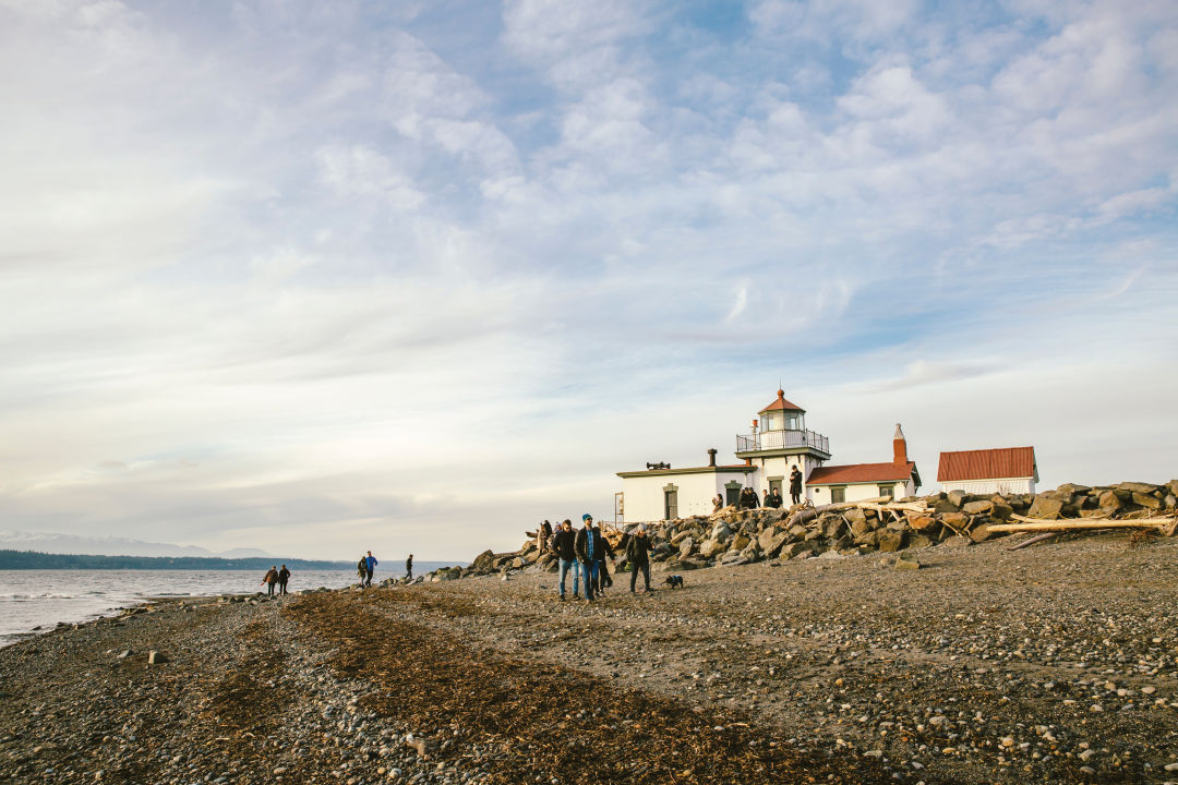
Image: Lauren Segal
Lovers Lanes
Discovery Park
Access Point: W Government Way in Magnolia • Approximate Length: 12 miles of trails
When date night looms, the city’s biggest park dishes an entire romantic evening into a short (and free) ramble in what was once known as Fort Lawton. Some of the best views into the Sound are on the North Beach Loop Trail, rebuilt in 2014; harbor seal sightings are common, and killer whale cameos are rare but thrilling. But the most iconic sight is probably the West Point Lighthouse, where the North and South Beach Trails meet.
The blackberry brambles on the Loop Trail near the north parking lot offer a snack in late summer, a good spot to pick fruit to bake a pie. A visit inside the park’s Daybreak Star Indian Cultural Center is free, offering a chance to view the building’s blue jay sculpture and whale painting—plus the Wolf Tree Nature Trail outside has several reflecting ponds to appreciate a joint reflection.
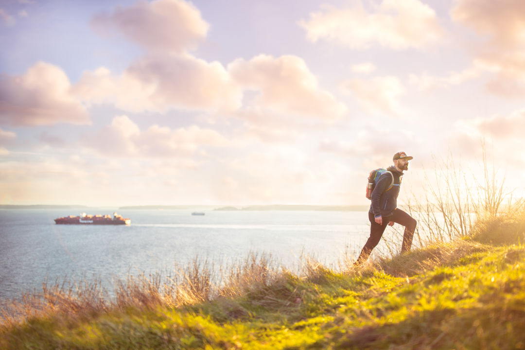
Discovery Park paths marry a hearty workout with killer Puget Sound views.
Image: Mac Holt
Open Houses
East Lake Sammamish Trail
Access Point: Marymoor Park • Approximate Length: 11 miles
Don’t cry for Sammamish, the forgotten lake among greater Seattle’s many bodies of water. It’s got the sprawl of Lake Washington with just a fraction of the traffic on its shores. The immaculate trail up the eastern shore passes right by the houses that boast waterfront access, with peeks into the strange styles (Italian Renaissance, really?) and architectural shapes built here. Gawk at guesthouses, long docks, odd cupolas and the modern angles of newly built additions; occasionally the trail itself gets the waterfront real estate, but it’s mostly tucked neatly between houses and the parkway. Sure, the trail is lined with fences to keep trail travelers from private property, but the short wooden rails can’t keep out a curious gaze.
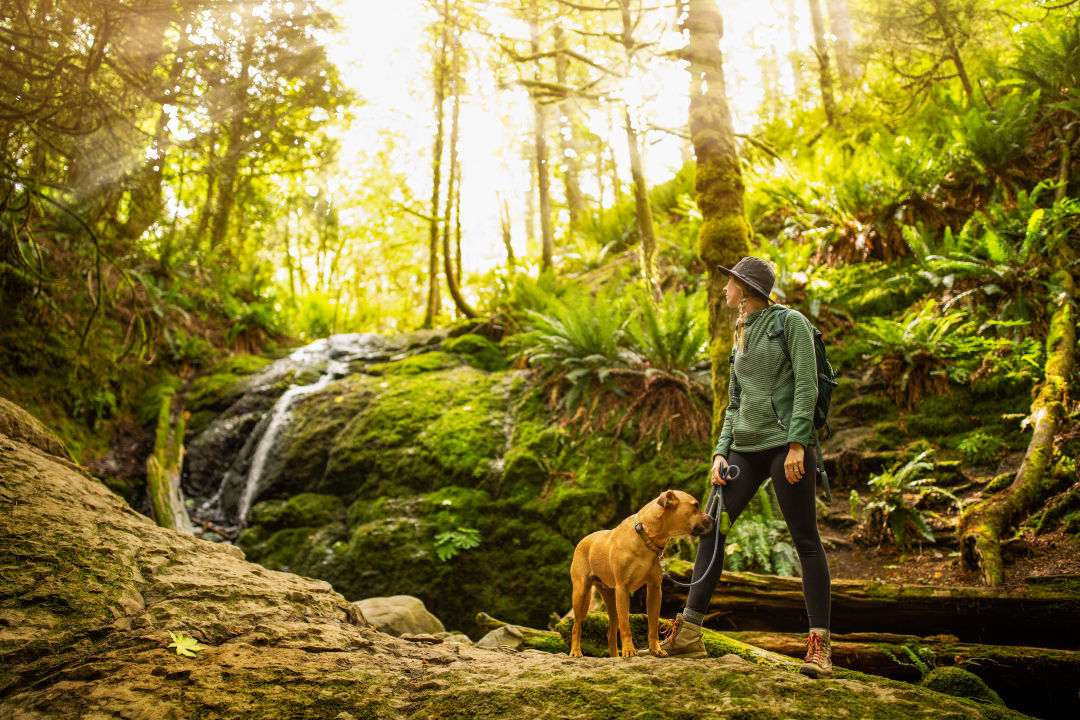
Cougar Mountain
Image: Mac Holt
Survival of the Fittest
Cougar Mountain
Access Point: Red Town Trailhead, Lakemont Blvd, Bellevue • Approximate Length: 30 miles of trails
Though not as wild as the name Cougar Mountain Regional Wildland Park suggests, the Eastside's big hill offers forested trails mere minutes from the interstate. In December, access got even more secure when the county finished deals to protect an additional 154 acres adjacent to the existing park. As part of the county’s Land Conservation Initiative, the move keeps development from encroaching on areas served by the county’s Trailhead Direct bus plus sections of May Creek Valley on the mountain’s southeastern side. Miles of trails weave throughout the 3,000 acres of Cougar, thick forest filled with streams and waterfalls, restored meadows and even old mining equipment. There are few places so green and so close to the city; now the public’s holdings got a little bit bigger.
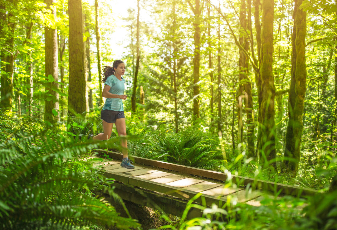
Squak Mountain
Image: Mac Holt
Lost in Transition
Squak Mountain
Access Point: Mountain Dr SW in Issaquah • Approximate Length: 3.8 miles to Bullitt Fireplace
Like a forgotten middle child, Squak sits between the more popular Cougar and Tiger mountains in Issaquah, laced with 19 miles of trails in a state park surrounded by King County lands. Squak is the perfect spot to try the growing sport of trail running, though come prepared for short inclines, rooty trails, and, even on a dry day, sections of mud. The most rewarding route is the two miles to the Bullitt Fireplace.
The remains of the Bullitt cabin only date to the 1950s, but the mossy stone chimney feels much older, a ghostly remnant cradled by thick brush near the top of Squak Mountain. Standing at the two-story ruin invites calm into what was a knee-pounding workout; various trails wind downhill through the green embrace of the mountain.
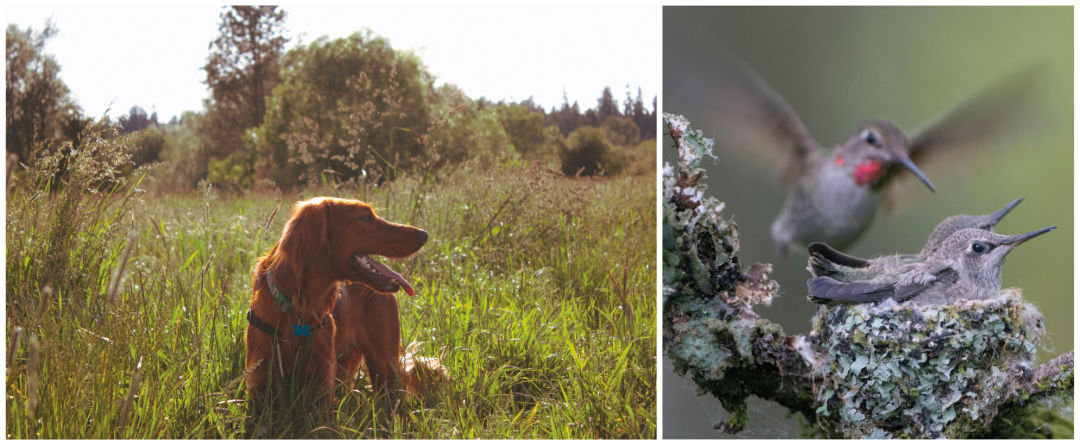
An Anna's Hummingbird attends to her Marymoor nest, while a dog finds himself in the tall grass.
Animal Kingdom
Marymoor Off-Leash Dog Park and Audubon BirdLoop
Access Point: Lots D and G, Marymoor Park • Approximate Length: 40 open acres in the off-leash dog park and 2.25 miles of birding trail
They don’t seem like an obvious pair—wild birds and domesticated dogs. But in Redmond’s Marymoor, they’re next-door neighbors in one of the best natural enclaves in the greater Seattle sprawl. In the middle of the park, the 40 acres for off-leash canines crisscross with mulchy paths that head over tiny spans bridging marshy streams: Old Dog Bridge, Soggy Dog Bridge, Dog-On-It Bridge. With baskets of free balls to fetch at the entrances and no leashes required, it’s a haven for hiking with pets that need to bound and frolic out some excess energy.
And then, on either side, more subtle creatures: Small interpretive loops are maintained by the Eastside Audubon Society as birdwatching routes. Grebes and herons settle on the lake; finches hide in mounds on the ground; eagles and osprey land on the trees above. More than 200 species have been spotted throughout the park, but one needn’t know the black-headed grosbeak from a Swainson’s thrush to enjoy a calm ramble through the loop’s thicket, meadow, and riverside trails. Dogs are even welcome in the bird-heavy areas that encircle their 40-acre playground, provided they don a leash and refrain from treating yellow warblers like yellow tennis balls.
View from a Hill
Chief Sealth Trail
Access Point: 15th Ave S and S Angeline St • Approximate Length: 4 miles
Chief Sealth, the Duwamish and Suquamish leader who greeted our region’s first white settlers, likely wouldn’t know what to make of the route that bears his name—but in under five miles, he’d learn a lot about the city that shares it. As the paved trail winds under power lines from Beacon Hill to Rainier Beach, it opens views to the VA hospital and the Renton Boeing plant, the snow-covered Olympics and placid Lake Washington. Small planes seem to buzz those lines on their way to Boeing Field, and P-Patches with tiny fences and gardening lean-tos look like hobbit villages.
Head north to south if you have a choice, since the southern end is next to the 20-acre Kubota Garden, a free and secluded haven of Northwest plants presented in the traditional Japanese manner. The manicured walkways might be novel to Chief Sealth, but he’d probably feel right at home between the tall cedars and spring-fed ponds that muffle the sounds of modern life.

Racing the tide: Alki offers one of the city’s many waterfront routes.
Image: Mac Holt
Beach Joys
Alki Trail
Access Point: Alki Ave and 64th Pl SW • Approximate Length: 2.5 miles
Keep your eyes open on West Seattle’s beachfront trail, which curves from the Elliott Bay–adjacent Harbor Avenue to Alki Beach. This is where to find the kind of city skyline views that make it into NFL telecasts and Grey’s Anatomy episodes. Seattle’s history started here; a pillar marks the landing spot of the Denny Party, the first white settlers in the area, plus a plaque that recognizes the Native American people who greeted them
From the shoreline trail, spot tips of the pilings that held Luna Park, Seattle’s own Coney Island–style amusement park that lit up West Seattle until 1913. A tiny replica of the Statue of Liberty stands as focal point for both protests and patriotic celebrations. Walking and biking isn’t the only activity along this beachy route; shirtless volleyball (for that one week in late July) and be-fleeced volleyball (the rest of the time) are common, and divers head out in Seacrest Park Cove 2, hoping to spot a giant Pacific octopus. Afterward, everyone can relax at one of the city’s two legal bonfire sites.
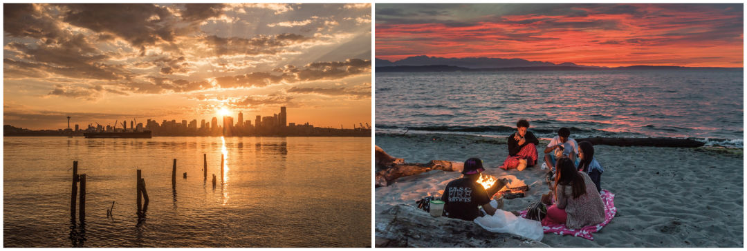
A full day on Alki Trail starts with sunrise over the city skyline and ends with sunset by a beach fire.
No Cars Go
Five Mile Drive
Access Point: N Pearl St and Park Ave, Tacoma • Approximate Length: 5 miles
It sure looks like a road—wide, paved, white line on the edge—as it wraps around Tacoma’s Point Defiance peninsula, but in the morning Five Mile Drive changes personalities. Its outer loop is closed to motor vehicles until 10am (1pm on Saturdays and Sundays), allowing cyclists and joggers free rein from the zoo and its new aquarium to Fort Nisqually and its historic reenactments. And the Japanese Garden. Oh, and the dog park, marina, rhododendron garden, and beach access. In short, there’s more to do in Point Defiance than can fit in a single morning. Foot-only unpaved trails in the park go as long as 4.5 miles so there’s room to stretch one’s legs any time of day.
Elliott Bay Trail
Image: Mac Holt
Where the Sidewalk Ends
Elliott Bay Trail
Access Point: Olympic Sculpture Park • Approximate Length: 5 miles
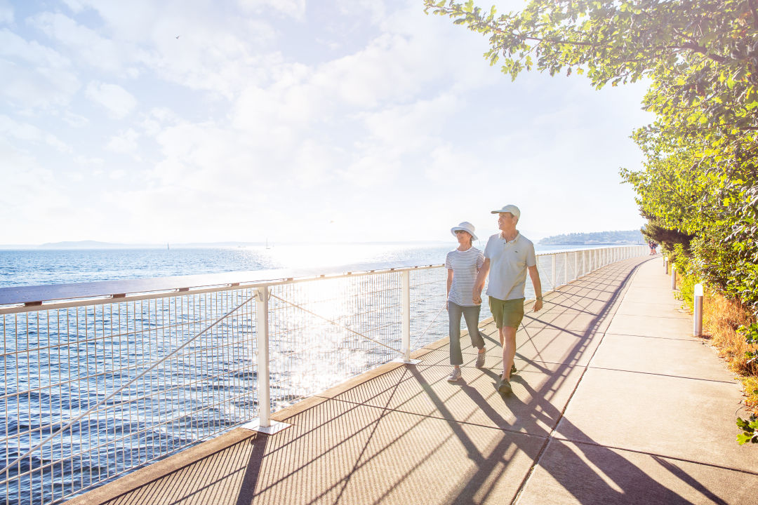
It isn’t long, but our waterfront route is the little trail that could—and won’t quit. Constant construction in Interbay blocks it now, thanks to the Expedia campus that’s currently undergoing renovations along Smith Cove. A detour robs pedestrians and cyclists a bit of the view; those on foot get rerouted over footbridges and those on bikes ride down Alaskan Way. But on the paved path there are vistas to spare across Elliott Bay, up the North Pacific Coal Bunker trestle, and in the gardens of Myrtle Edwards Park. Don't skip the Olympic Sculpture Park art detour.
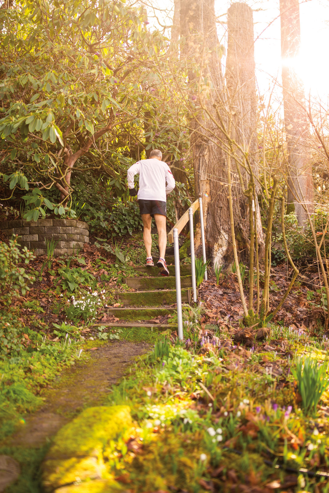
Streissguth Gardens offers verdant bonus steps after long laps on the Howe/Blaine Stairs.
Image: Mac Holt
Stairway to...Well, You Know
Seattle is famous for its outdoor staircases, tucked into almost every neighborhood that has an incline (so, all of them). These are our five favorites.
Howe/Blaine Stairs
The city's favorite outdoor gym: two parallel staircases on Capitol Hill, one of which is the city's longest, while the other hugs the fragrant Streissguth Gardens.
Thistle Street Stairs
Descend to Fauntleroy's Lincoln Park through a green tunnel of stairs—the city's second most outdoor steps in a row—with wooden railings.
Thornton Creek Stairs
Just east of Northgate, steps move down to free-flowing Thornton Creek, lined with interpretive signs about the watershed.
Wilcox Wall
As austere as the most classic Queen Anne Hill architecture: A retaining wall gets fancy with red brick designs and three flights of stairs.
Cooper Street Steps
From the top of this modest Rainier Beach staircase—its 218 steps ideal for a workout—Mount Baker appears in the distance; down lower, Lake Washington pops into view.
